
Intelligent infrastructure · Smart mobility · Qatar
Intelligence That Moves, Connects & Protects.
ALGOSYSTEMS QATAR designs, integrates and maintains the traffic, sensing and control systems that keep junctions, highways and cities connected.
Illustrative model. Generic equipment, not live data or a specific site.
Start where you are
One city. Four ways in.
Public sector
For road authorities and programme owners who need systems delivered and kept working for years.
See how we deliver 02Consultants
For designers and specifiers who need architecture, interfaces and specification guidance.
Explore technologies 03Main contractors
For delivery teams who need an ITS package scoped and priced without delay.
Request a quotation 04Private enterprise
For developers, campuses and operators who need the right system for one site.
Find your solutionSee it work
One connected district. Every system.
Choose a point on the model or in the index. Each one opens what it does, what it connects with, and the solution behind it.
Animated concept model. Not live data and not a depiction of a specific installed site, project or client. Equipment shown is generic.
Drag to rotate · pinch or use + and − to zoom
Infrastructure index
Point 01 of 14
Signalised intersection
Urban networks
A four-arm junction where signal heads give each movement its turn. East-west and north-south stages never run together.
The signal heads are switched by a local controller that follows a timing plan and reports its health to central supervision.
Connects with
- Junction controller
- Vehicle detection
- Central supervision
Point 02 of 14
Pedestrian crossing
Urban networks
Marked crossings on each arm, with their own signals telling people when to wait and when to cross.
A pedestrian demand is an input to the controller, which gives a protected crossing time within the signal cycle.
Connects with
- Pedestrian signals
- Demand buttons
- Junction controller
Point 03 of 14
Controller cabinet
Urban networks
The roadside cabinet that houses the junction controller, its power supply and its communications equipment.
It decides the next stage, switches every signal, checks that each shows what was commanded, and reports to the centre.
Connects with
- Signal heads
- Detectors
- Communications link
Point 04 of 14
Junction detection
Urban networks
Loops in each approach and a camera above the junction register vehicles waiting or arriving.
With detection, the junction responds to actual demand rather than to a fixed clock.
Connects with
- In-road loops
- Overhead camera
- Junction controller
Point 05 of 14
Connected IoT poles
Connected city
Street poles that carry lighting, wireless units, environmental sensors and cameras on shared infrastructure.
Fibre in the footway and a roadside cabinet bring every device onto one network.
Connects with
- Smart lighting
- Sensors and cameras
- Fibre and wireless
Point 06 of 14
Smart parking facility
Connected city
A car park where each bay reports whether it is occupied or free, and an entry point identifies arriving vehicles.
Guidance signs show free spaces to drivers, and the operator sees occupancy and turnover in one view.
Connects with
- Bay sensors
- Entry control
- Guidance signs
Point 07 of 14
Traffic management centre
Operations
The building where the whole network is supervised. Field systems report here and operators act from here.
Bringing the systems together lets data from one inform the response of another.
Connects with
- Every field system
- Operator workstations
- Video wall
Point 08 of 14
Highway corridor
Highways
A dual carriageway instrumented along its length: detection, weigh-in-motion, weather, message signs, lane control and tolling.
Each gantry and roadside station is connected to the centre, so the route is managed as one.
Connects with
- Detection
- Message signs
- Lane control
Point 09 of 14
Highway detection station
Highways
Sensors in each lane and a roadside unit measure flow, speed and vehicle class continuously.
The camera lets operators confirm what the measurements suggest.
Connects with
- In-road sensors
- Roadside camera
- Count and speed data
Point 10 of 14
Lane control signals
Highways
One signal above each lane shows whether the lane is open, closed or must be left.
Operators use them to protect incidents and roadworks and to keep the remaining lanes moving.
Connects with
- Gantry
- Sign controller
- Incident response
Point 11 of 14
Variable message signs
Highways
Full-matrix signs that tell drivers about incidents, conditions and safety messages before they reach them.
Messages are set by operators or by automatic plans, and each sign reports its own status.
Connects with
- Gantry
- Sign controller
- Control centre
Point 12 of 14
Weigh-in-motion station
Monitoring
Sensors set into the lane measure axle loads as vehicles drive over them, without stopping traffic.
A camera links each measurement to its vehicle, for asset management and screening of overloaded vehicles.
Connects with
- In-road sensors
- Roadside electronics
- Vehicle camera
Point 13 of 14
Road weather station
Monitoring
A roadside mast and a sensor in the carriageway record the conditions that affect how safely the road can be used.
When conditions deteriorate, the readings can trigger warnings on the message signs.
Connects with
- Atmospheric sensors
- Surface sensor
- Driver warnings
Point 14 of 14
Tolling gantry
Highways
Cameras and antennas above each lane identify every vehicle at normal speed, with no barrier.
A roadside controller combines plate, tag and class into one record and sends it securely to the back office.
Connects with
- Plate cameras
- Tag antennas
- Roadside controller
Solutions
Organised the way a city is built.
Ten solution areas in four domains. Start with the part of the network you are responsible for.
 Urban mobility
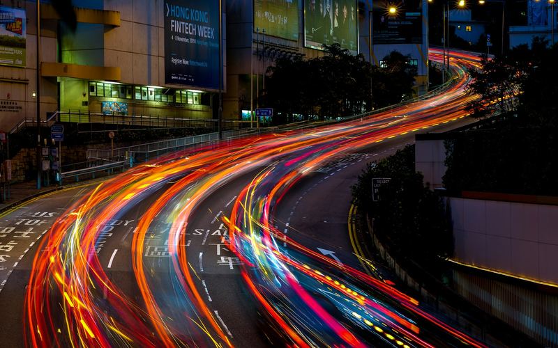
Urban Traffic Management
Coordinated junctions and corridors, supervised from one operating picture.
Explore solution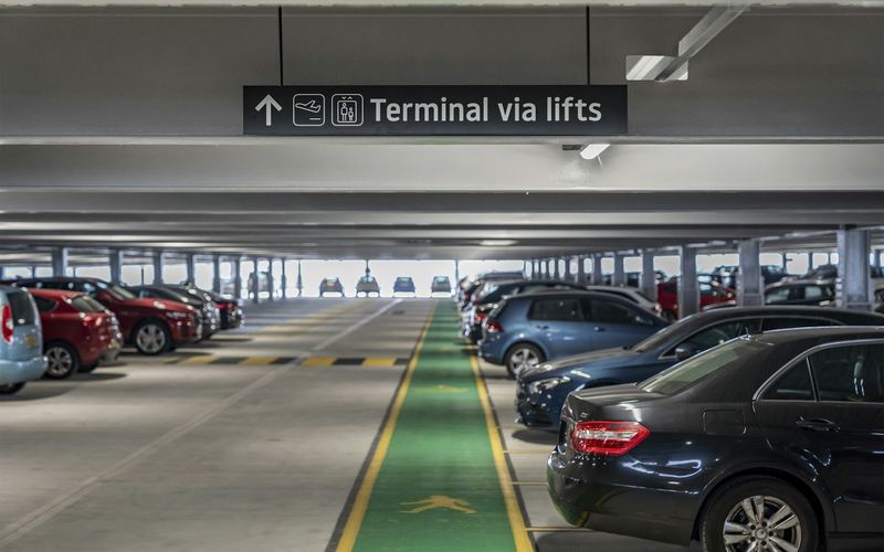 Urban mobility
Smart Parking & Access
Drivers find a space sooner. Operators see demand as it happens.
Explore solution Urban mobility
Road Safety
See risk earlier. Warn drivers sooner. Keep the evidence sound.
Explore solution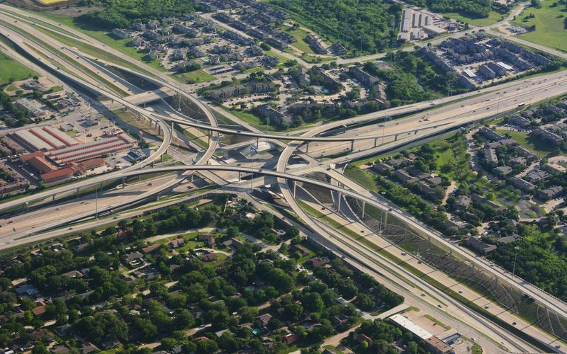 Highways & corridors
Highway & Road ITS
Inform drivers, detect incidents and manage lanes on high-speed routes.
Explore solution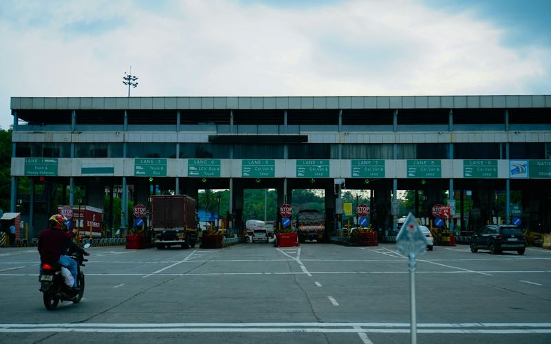 Highways & corridors
Tolling & Enforcement
Identify every vehicle accurately, at traffic speed.
Explore solution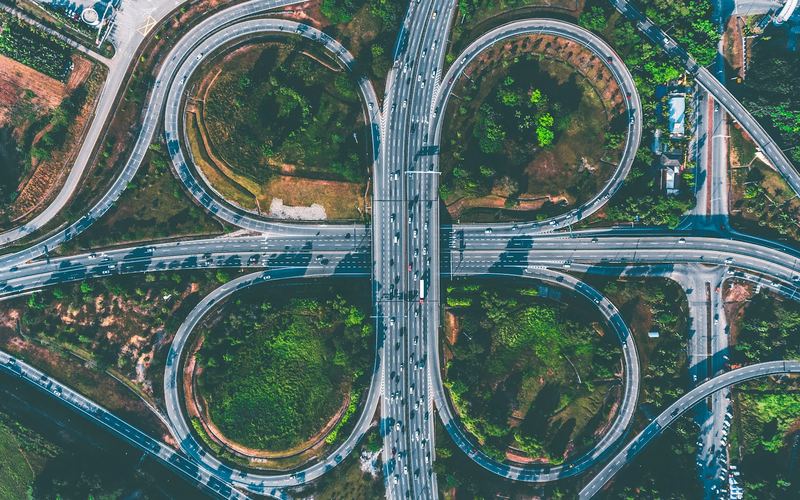 Highways & corridors
Environmental & Road Monitoring
Measure the load on the road and the conditions around it.
Explore solution Connected city
Smart City & IoT
Bring a district's assets onto one network and into one view.
Explore solution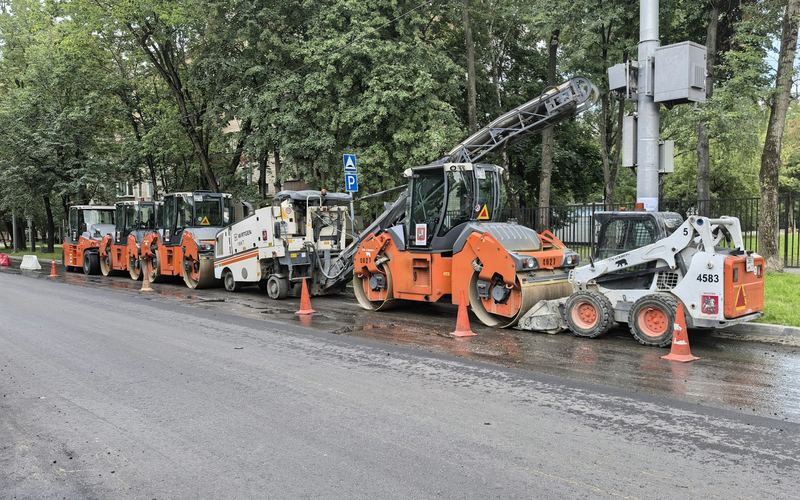 Connected city
Smart Road Infrastructure
The roadside foundations every intelligent system depends on.
Explore solution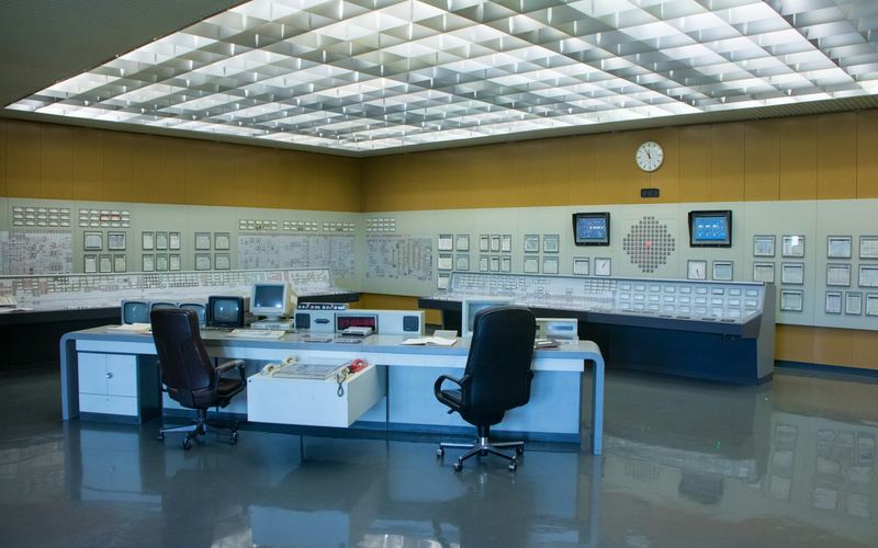 Operations & intelligence
Control Centres & Integration
One operating picture for the people who run the network.
Explore solution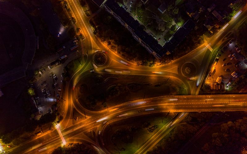 Operations & intelligence
Traffic Intelligence & AI
Turn what the network already measures into decisions.
Explore solutionIn the field
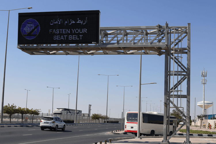
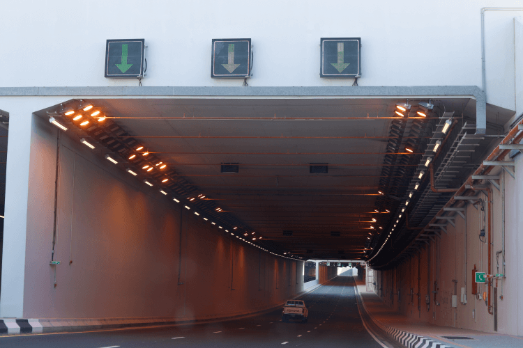
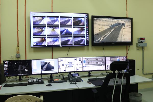
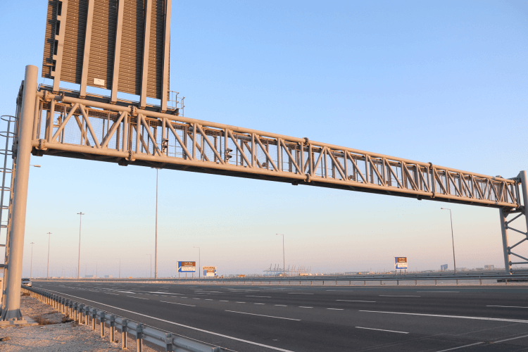
Systems on the road.
Photographs from our sites in Qatar.
How it connects
From the roadside to the control room.
Every system we deliver follows the same four layers. Understand them once and every solution becomes easier to specify.
Field
Signals, signs, sensors and cameras at the roadside.
Local control
Controllers and cabinets that make decisions on site and keep working if the link is lost.
Network
Fibre and wireless links that carry status up and instructions down.
Centre
Platforms and people who supervise the whole system.
Technologies
The building blocks of a smarter network.
Eleven technology categories. Makes and models are confirmed against your project requirements and the approving authority's standards.
 Traffic systems
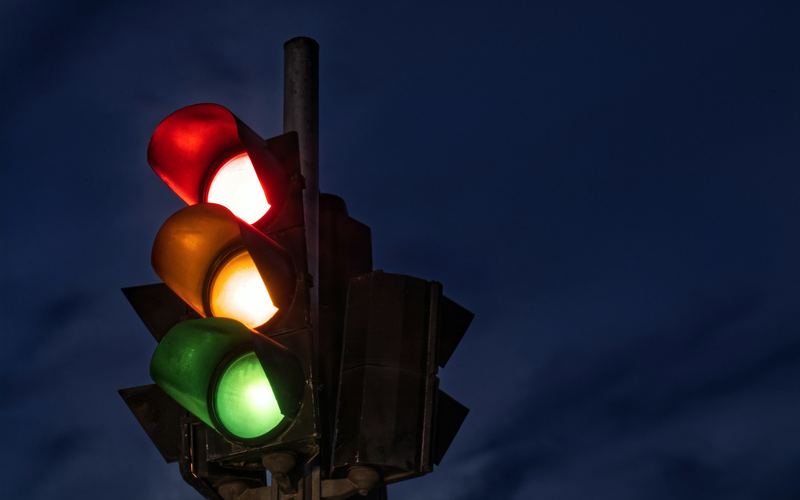
Traffic signal systems
The visible part of traffic control: the signals drivers and pedestrians obey.
View category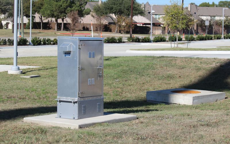 Traffic systems
Controllers & cabinets
The local decision-maker at every junction, and the enclosure that protects it.
View category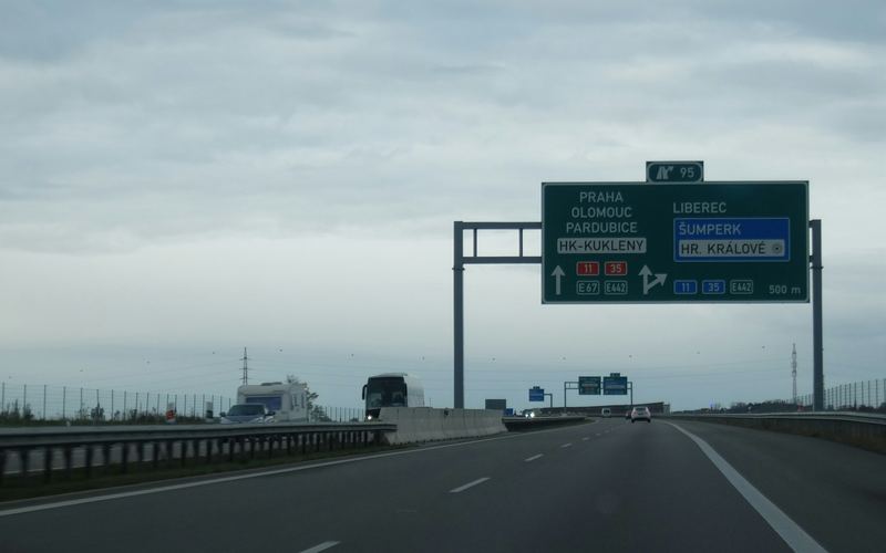 Roadside technology
VMS / DMS / LCS
Signs that change with conditions: messages, speeds and lane status.
View category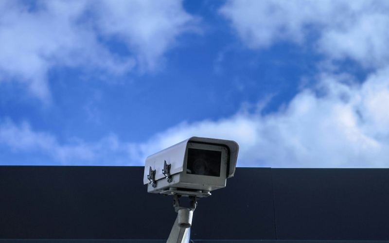 Roadside technology
ANPR & enforcement
Cameras that read number plates and record events reliably.
View category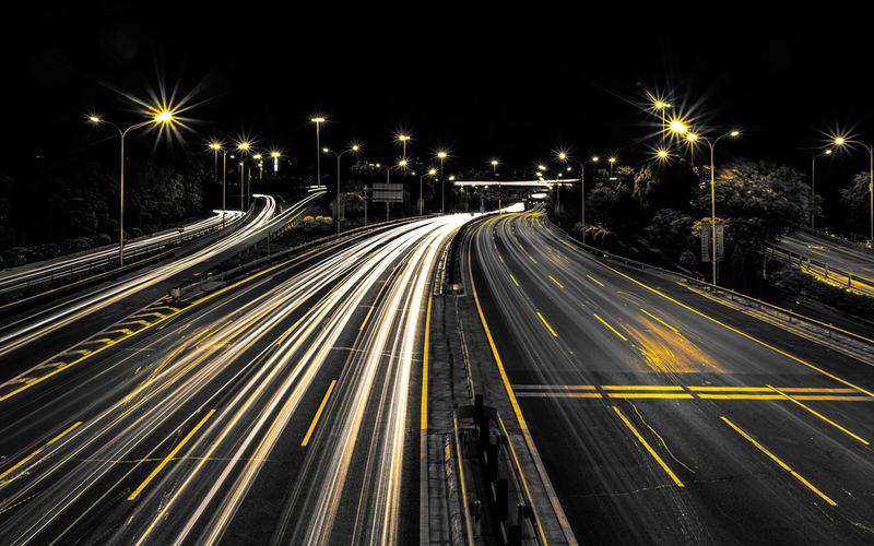 Roadside technology
Tolling equipment
Roadside equipment that identifies and classifies vehicles in free-flow or at a lane.
View category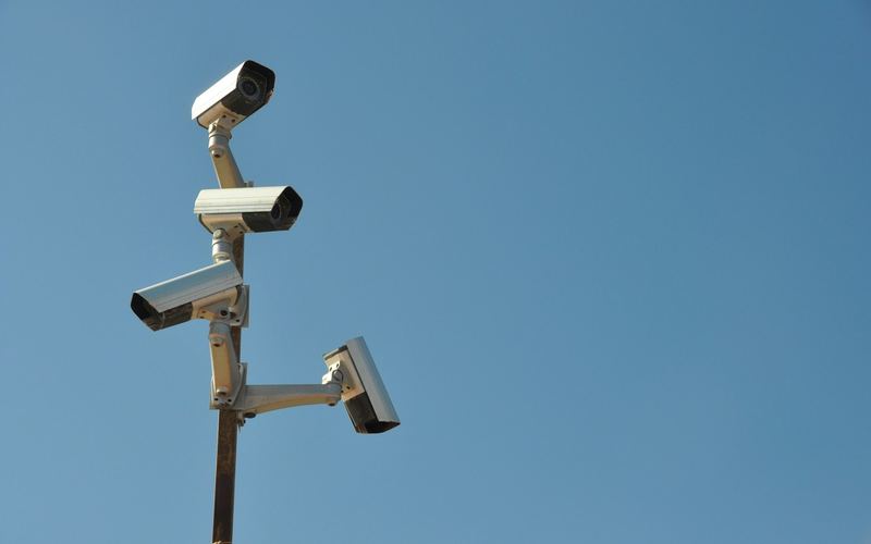 Sensing & data
Traffic detection & sensors
How a system knows a vehicle or a person is there.
View category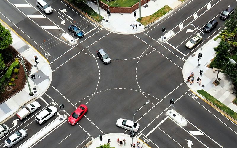 Sensing & data
Traffic counting & classification
Continuous, reliable data on how many vehicles, of what type, at what speed.
View category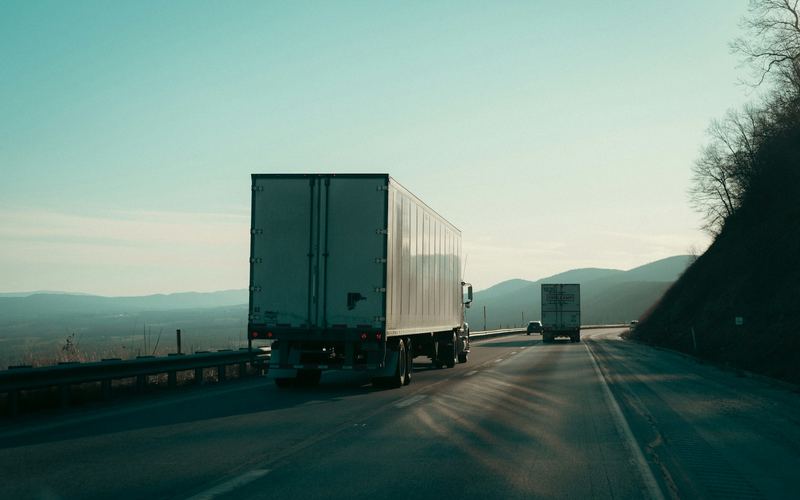 Sensing & data
Weigh-in-Motion (WIM)
Weighing vehicles as they drive, without stopping them.
View category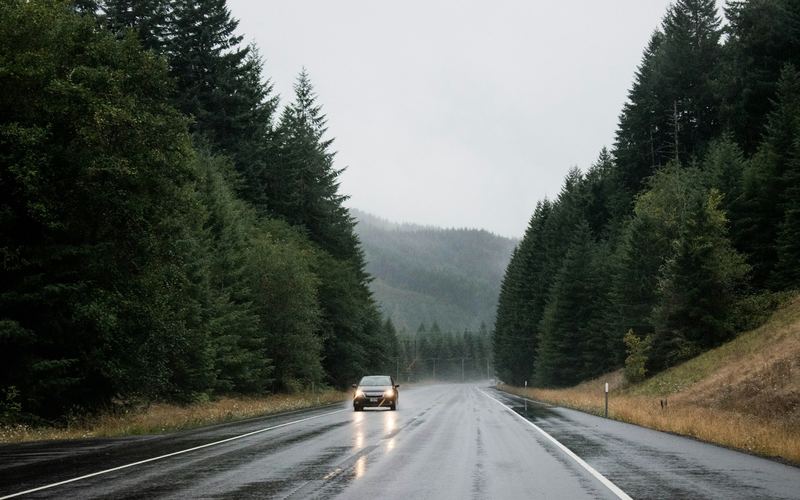 Sensing & data
Road Weather Systems (RWIS)
Measuring the conditions that change how safely a road can be used.
View category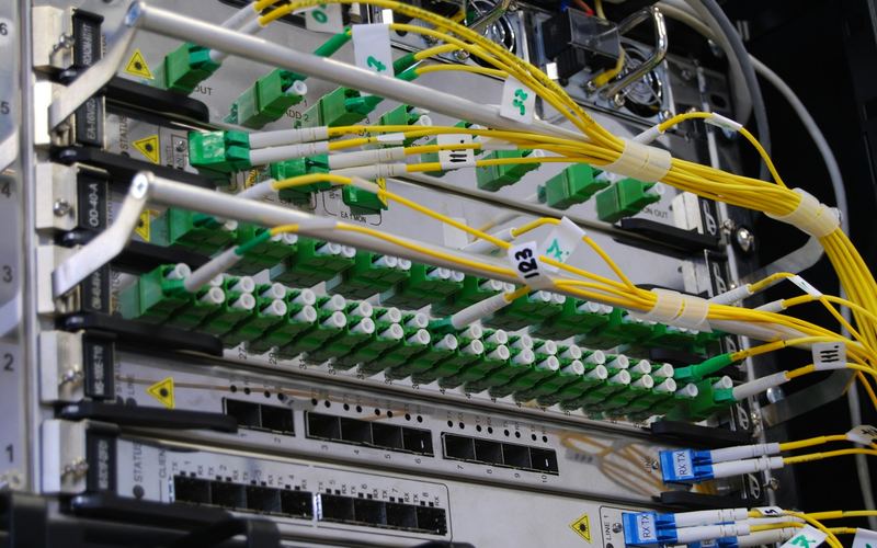 Platforms
Communication & networking
The links that carry status up and instructions down.
View category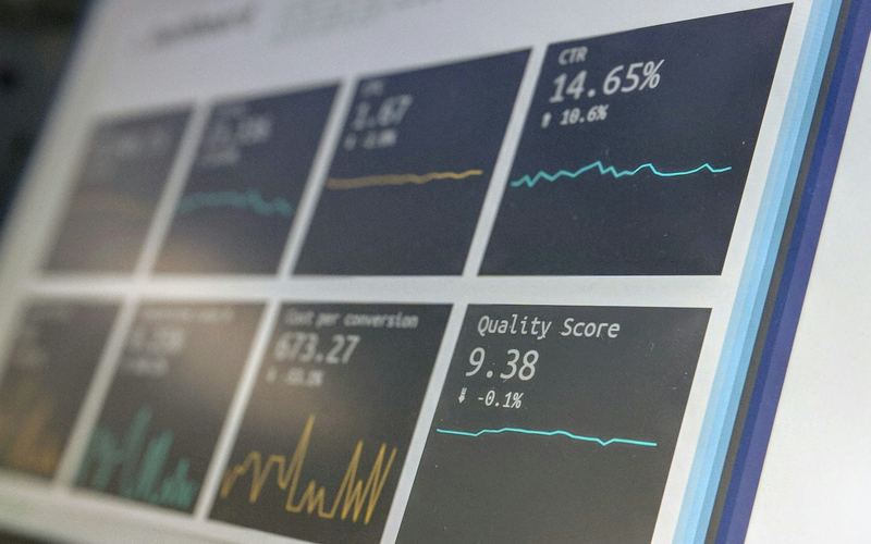 Platforms
Software & platforms
The software where field data becomes an operator's decision.
View categoryWhy ALGOSYSTEMS
One accountable team, from first brief to long-term operation.
We design, supply, install, test, commission, operate and maintain. The team that designs your system is the team that answers when it needs attention.
Consult
We start with your objectives, constraints and the standards your project must meet.
Design
We turn requirements into an integrated design, with interfaces and responsibilities defined.
Integrate
We bring equipment, networks and software together and test them as one system before site.
Deliver
We install, test and commission with the authorities and contractors on your project.
Operate
We provide operation and maintenance, with round-the-clock technical support.
Optimise
We review performance data with you and tune the system as conditions change.
More than a decade on Qatar's roads.
ITS delivered on highways, industrial areas and urban junctions since 2014.
Certified management systems.
Quality, environment, health and safety, information security and business continuity.
Have a project in mind?
Send us the scope, drawings or tender documents. We will reply with a clear technical and commercial proposal.